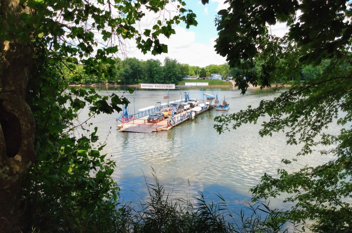
We unintentionally picked one of the hottest days in early July to further explore Maryland’s back roads. Our destination for the day, Historic White’s Ferry in Dickerson, Maryland. The temperature was right around 92 degrees. I don’t know what the actual humidity level was but I’d stand by guesstimating off-the-charts. Summer, in the Washington, DC region feels swampy and mosquitoes reign supreme. The surrounding countryside in Maryland and Virginia is beautiful, but it’s hot and sticky too.
Ball’s Bluff Regional Park
We got a late start to the day, which probably wasn’t the best of plans in retrospect, given the temps. Sometimes it just takes a while to get moving. Our first stop of the day was Ball’s Bluff Regional Park and National Cemetery. We really had no idea what to expect but we’ve taken a keen interest in following portions of the Civil War Trail since moving to the east coast. Since Ball’s Bluff was right on our way to White’s Ferry, and offered hiking trails, it peeked our interest.
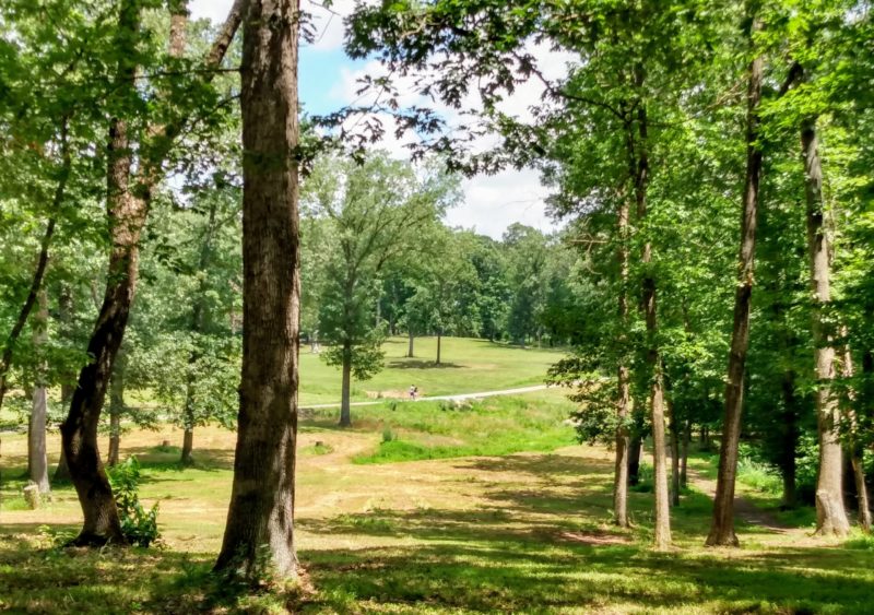
The Battle of Ball’s Bluff
It’s really quite something to stand on a rise, look over a beautiful little clearing in the woods, knowing it was the site of a civil war battle in 1861. As we understand it, the Union Troops were hoping to cross the Potomac River and capture nearby Leesburg, VA. The Union Troops were soundly defeated, leaving an interesting chapter in the Civil War story.

We unintentionally picked one of the hottest days in early July to further explore Maryland’s back roads. Our destination for the day, Historic White’s Ferry in Dickerson, Maryland. The temperature was right around 92 degrees. I don’t know what the actual humidity level was but I’d stand by guesstimating off-the-charts. Summer, in the Washington, DC region feels swampy and mosquitoes reign supreme. The surrounding countryside in Maryland and Virginia is beautiful, but it’s hot and sticky too.

We got a late start to the day, which probably wasn’t the best of plans in retrospect, given the temps. Sometimes it just takes a while to get moving. Our first stop of the day was Ball’s Bluff Regional Park and National Cemetery. We really had no idea what to expect but we’ve taken a keen interest in following portions of the Civil War Trail since moving to the east coast. Since Ball’s Bluff was right on our way to White’s Ferry, and offered hiking trails, it peeked our interest.
It’s really quite something to stand on a rise, look over a beautiful little clearing in the woods, knowing it was the site of a civil war battle in 1861. As we understand it, the Union Troops were hoping to cross the Potomac River and capture nearby Leesburg, VA. The Union Troops were soundly defeated, leaving an interesting chapter in the Civil War story.
Hiking & The Potomac River
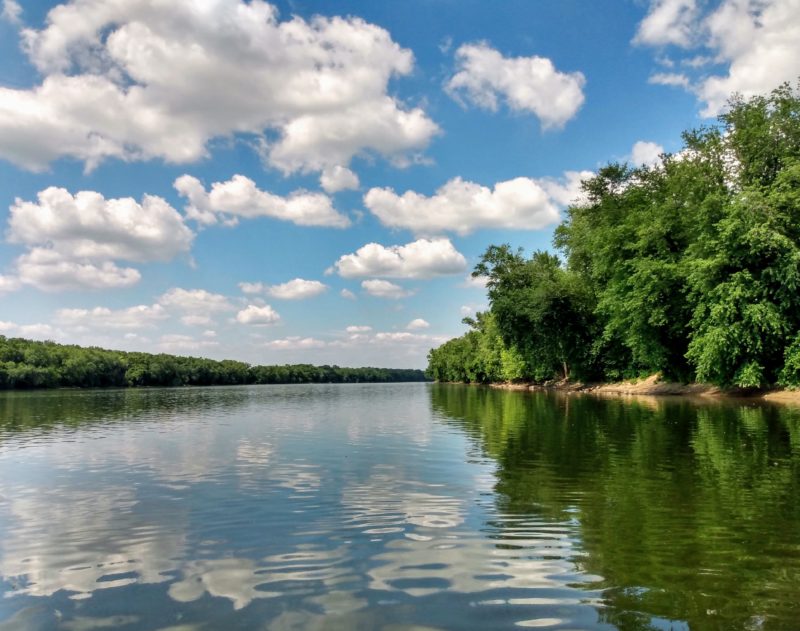
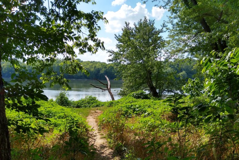
The hiking trails in the park are well-maintained and well-marked. Most of them are short and loop back to the parking area. From the cemetery we hiked down to the Potomac River, where the water was drifting lazily. It was hard to imagine such a pretty place once being the site of battle.
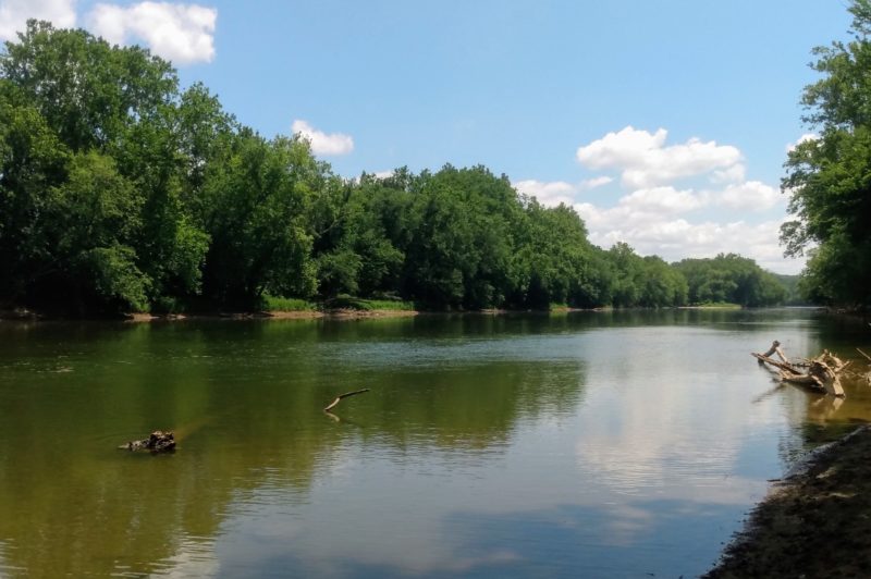
We were so enjoying the trail and views that instead of backtracking, we kept right on following the trail. Our mistake was we didn’t know where the trail came out. Fortunately, while we thought maybe we were lost, we weren’t. We came off the trail less than a mile from the park entrance. A great relief since we were melting under the blazing sun. We hiked a total of 4.5 miles, but there were so many more trails to explore. Next time.
The Potomac River
I often mention the Potomac River in my tales, it’s a mainstay in the Washington, DC, Maryland and Virginia region. For those who are not familiar, here are a few quick facts about the river. Aside from playing a key role in American history, the river
- is 405 miles (652 km) in length.
- runs from the Potomac Highlands in West Virginia to the Chesapeake Bay in Maryland and Virginia.
- is nicknamed, The Nation’s River.
- provides 80% of drinking water for the region.
- forms parts of the border between Washington, DC and Maryland, and between West Virginia and Virginia.
- formed parts of the border between Union and Confederate states during the civil war.
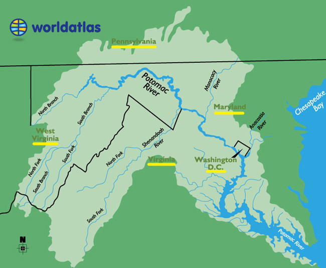
Not only can you trace the path of the Potomac River, in the image above, you can see how easily one crosses state borders. I always tease that one of these days our GPS will get confused about where she is. Welcome to Maryland, Welcome to Virginia, Welcome to Washington, DC… oh, I give up go wherever you want. So far, it hasn’t happened, but one day.
Historic White’s Ferry
When I first learned of White’s Ferry I knew it was something we needed to do. I mean, how often do you get to cross a major river on an old-school cable car ferry?
White’s Ferry was the destination of the day. Exploring Ball’s Bluff was an added bonus experience. Don’t you love it when that happens? Especially, because White’s Ferry was just down the road from Ball’s Bluff.
- Check current operating schedules on Facebook
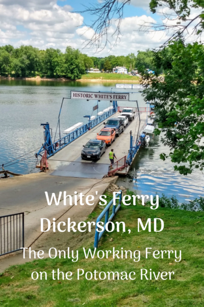
It was just a two-lane country road bordered by fields of green stocks of corn, the road leading to the ferry entrance. We boarded the ferry in Virginia, and drove off in Maryland. There’s something geographically fun about that. Although the ferry ride took less than five minutes, it was a very pretty five minutes!
The Perfect Spot
Once on the Maryland side, it was time to take a much needed cold drink break. I don’t know what we were thinking hiking in the intense heat, but it was well-worth the effort. Anytime we can get outdoors in the fresh air, enjoy ourselves and learn something, it’s a win. And, since there were no other people on the trails there was no worry about social distancing.
White’s Ferry landing has a store and cafe with outside dining. The perfect spot for two hot and tired, but happy, explorers to take in the views.


Summer Roads
While I do not embrace the heat and humidity of summer (or the bugs) I do appreciate what the summer season has to offer; all things green and beautiful. When so much in life is unbalanced, in this time of Covid-19, it’s essential to find a source of balance. For us, it’s getting in the car and taking off for a day.
Since we cannot yet travel far and wide, the concept of summer roads is more than appealing. Exploring within 100 miles of home offers the perfect respite, and we’re fortunate in that we live in a unique area abundant with destinations.
Here’s our challenge to you. Trace a 100-mile radius circle on a map and find out what you can explore in your backyard.
To Learn More
How to Road Trip Safely During a Pandemic








 #postcardsfromthewo


 New post on blog, link in


Visually pretty and lovely post Patti. I’m over 50 and I’m still learning American History. I love your 100-mile radius challenge. Since we going to be in Montreal for a bit, I think it’s something we just might do. It might help us appreciate being here (ugh again ) and discover some hidden gems (instead of marking off days on a calendar until we can leave). Hmm your weather report made me sweat like a piglet and I’m sitting here with my AC running full blast. Ah Summer, how do I hate thee….
spanky recently posted…The Incredible Stained Glass of León Cathedral (Spain)
I am counting the days (64) until the first day of fall, Spanky. I have zero appreciation for the heat and humidity (and bugs) of an east coast summer. I Bleah. I long for fall, the cool days, gorgeous colors on the trees, a warm sweater and a cup of hot chocolate in front of the fireplace. That is my happy place.
Patti: All looks very peaceful and relaxing.

Frank recently posted…The Incredible Stained Glass of León Cathedral (Spain)
Looking for peace in a time when peace is difficult to come by. I’ve always loved to explore country backroads, but now even more so.
Patti, road trips are the way to go, for sure. Even in hot weather, it is great to get out and about. I don’t know anything about this region, so all your explorings are a new experience for me. I am traveling vicariously. Loved the historic White’s Ferry and enjoyed your little video. I did a short road trip with my sisters this weekend, we went to visit the charming town of Arundel and had a good look around the Arundel Castle Gardens. Unfortunately, the Castle is not yet open to the public, giving us a reason to return in the future.
Sometimes we find the best unknown (to us) destinations when we get in the car and make out way out to the back roads. I think anyone who travels far and wide may often forget to look in their own backyard. Neither of us has a desire to own an RV, but right now I think it’s an optimal way to travel. You and Brian have certainly found the right fit for you and I look forward to reading about your future explorations.
That’s a great challenge and how fortunate you are to have so many destinations near where you are Patti. That should help satisfy the travel itch a little until you can journey back to Portugal and Europe safely. Sadly, trans-Atlantic travel does seem to be a pipe dream at this point and my son and grandson have never seemed so far away as now when a plane ride to the US would be a massive (and risky) challenge. Fortunately, I am right where I want to be for now and it’s great to know that you and Abi also feel the same way. Keep safe, stay optimistic and happy. There’s much to enjoy even during these difficult times.


Anita recently posted…Just Like Riding A Bike, A Little Procrastination And Leaving Lagos
I can only imagine how much you’re missing your son and grandson, thank goodness for modern technology and skype, or whatever the new app is these days! With any luck November will bring about much needed change that will start to heal the US on many, many levels. Say hello to Portugal for us, have you made it to Porto yet? We do so love that city.
We are doing a bit of exploring too. 100 miles takes us most of the way down to Central CA from San Jose. We love the little town of Capitola and hope to do the drive along Big Sur soon. Paso Robles is a new favorite. Lots of restaurants (when we can visit them again) and a really great little private zoo. Inland gets you to Davis and Sacramento. North gets you to wine country. We are going to Sonoma for a short stay this week.
The Bay Area in northern California is definitely a location with a multitude of experiences and destinations within 100 miles. Enjoy!